Brenta Dolomites

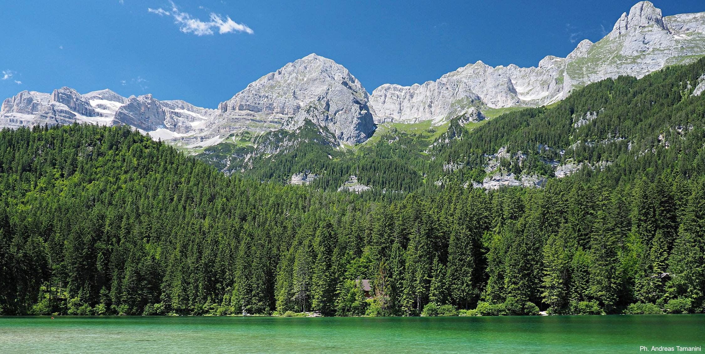
The Brenta Dolomites make up the westernmost part of the Dolomite region, on the western border of the Province of Trento. This chain is a Dolomite island covering an area of 11,135 hectares bounded to the west by the Giudicarie valleys, to the east by the Non Valley and to the north by the Sole Valley.

The Brenta Dolomites are divided into two parts by the Bocca di Brenta pass. The northern part includes the Sfulmini chain and the Grostè massif, while the south boats the highest peak in the System Cima Tosa (3,173m) and the Catena d’Ambiez chain. Among the other high peaks are Cima Brenta and Campanil Basso, the latter a famous mountain that is still a magnet for mountaineering enthusiasts. Not just geography separates the Brenta Dolomites from the other Dolomite chains. The distinctive morphology of the majestic, towering Brenta peaks, shaped by erosion that has carved jagged spires and lofty pinnacles of every size and shape, stands in contrast to the slenderer, fluid lines of the rest of the Dolomites.

The exceptional importance of the natural environment, landscape and geology of this Dolomite System is safeguarded by the Adamello Brenta Natural Park, designated a protected area in 1988 and covering an area of over 62,000 hectares.

Brenta Dolomites 9

Geology

The sequence of rocks in the Brenta Massif ranges from the early Triassic to the Cretaceous periods, approximately 185 million years ago, and these rocks are very different from those elsewhere. The main differences can be found in rocks from the end of the Triassic period and from the Jurassic and Cretaceous periods. These relate the opening up of the Lombardy Basin and development of the western edge of the Trento Platform. The appearance of the Brenta Dolomites is that of an imposing, elongated ridge running roughly north-south, predominantly consisting of sedimentary carbonate rocks arranged in compact banks that are highly resistant to erosion. From a morphoclimatic perspective, there is an abundance of such glacial forms and deposits as cirques, hanging valleys, smooth step formations, roche moutonnée and banks of moraine.

The geology of System 9: Brenta Dolomites PDF

Explore

Mountain huts

Accessible Dolomites

Museums

High quality

Stages of the Dolomites World Heritage Geotrail: 1-3, 4-6

360° pictures of the Dolomites World Heritage Geotrail: Val d’Ambiez, Pozza Tramontana, Massodi, Campo della Flavona

The sequence of rocks in the Brenta Massif ranges from the early Triassic to the Cretaceous periods, approximately 185 million years ago, and these rocks are very different from those elsewhere. The main differences can be found in rocks from the end of the Triassic period and from the Jurassic and Cretaceous periods. These relate the opening up of the Lombardy Basin and development of the western edge of the Trento Platform. The appearance of the Brenta Dolomites is that of an imposing, elongated ridge running roughly north-south, predominantly consisting of sedimentary carbonate rocks arranged in compact banks that are highly resistant to erosion. From a morphoclimatic perspective, there is an abundance of such glacial forms and deposits as cirques, hanging valleys, smooth step formations, roche moutonnée and banks of moraine.

The geology of System 9: Brenta Dolomites PDF

Mountain huts

Accessible Dolomites

Museums

High quality

Stages of the Dolomites World Heritage Geotrail: 1-3, 4-6

360° pictures of the Dolomites World Heritage Geotrail: Val d’Ambiez, Pozza Tramontana, Massodi, Campo della Flavona

Lago di TovelView of Brenta DolomitesBrenta Dolomites

Google Street View

Explore the mountains from your home

Rifugio Stoppani – Rifugio Tuckett-Sella – Rifugio Casinei – Rifugio Vallesinella

Rifugio Stoppani – Passo Gaiarda

Croz dell’Altissimo